Choose the Right Map
For walking, use a map at 1:25,000 or 1:50,000. In Great Britain, Ordnance Survey Explorer maps (1:25,000) show field boundaries, paths and rights of way in enough detail to navigate by. In the United States, USGS 7.5-minute topographic quadrangles serve the same role, and many national parks sell their own trail maps. Whatever you use, buy or print it before the trip and carry it in a waterproof case.
Phone mapping apps are excellent backups and quick position checks. They are not a replacement. Cold drains batteries fast, screens are hard to read in rain, and a dropped phone ends your navigation in an instant. Paper never runs out of charge.
Read the Contours
Contour lines join points of equal height. On OS Explorer maps they are usually spaced at 5 or 10 m intervals; check the map key. Lines packed tightly together mean steep ground. Widely spaced lines mean gentle slopes. Concentric rings show a hill or summit; V-shapes pointing uphill show a valley or stream, while V-shapes pointing downhill show a spur or ridge.
Before you go, trace your route with a finger and narrate it aloud: "Leave the car park, climb steadily north-east for 2 km, cross the stream, follow the wall to the col." If you cannot narrate a section, study it until you can.
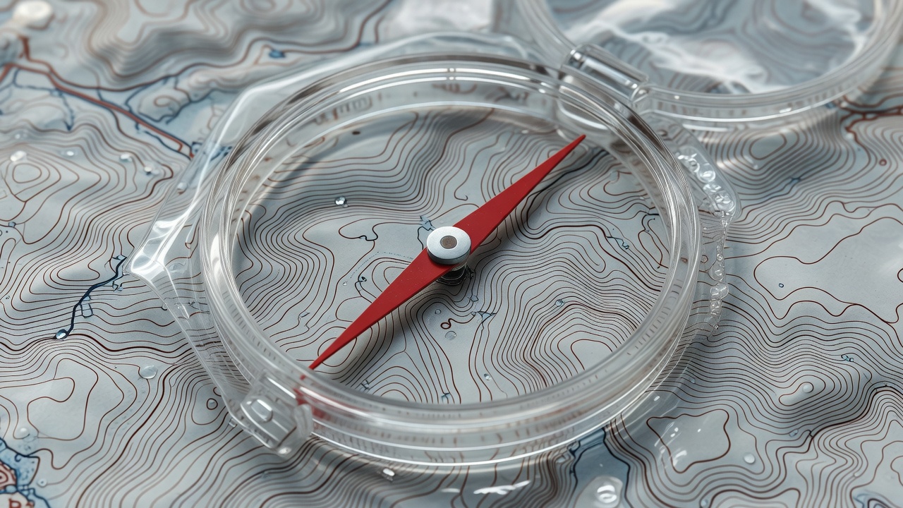
Take a Bearing in Four Steps
Map to compass
- Lay the compass edge along the line from where you are to where you want to go, direction-of-travel arrow pointing toward your goal.
- Turn the bezel until the orienting lines align with the map's grid north lines, with the orienting arrow pointing to north.
- Adjust for magnetic variation if it is significant where you are walking (check the map margin).
- Lift the compass, turn your body until the red needle sits inside the orienting arrow, and walk where the travel arrow points.
Estimate Time With Naismith's Rule
In 1892, the Scottish mountaineer William Naismith proposed a simple rule: allow one hour for every 5 km of distance, plus one hour for every 600 m of ascent. It remains the standard starting point for British hill walkers.
Naismith assumed fit walkers with light loads. With an overnight pack, add 20 to 30 percent. Add more for rough or pathless ground, large groups, or short winter days. Then add breaks. A 10 km route with 400 m of climbing becomes roughly 2 h 40 min by the rule, 3 h 20 min with a pack, and close to 4 hours with sensible stops.
Arrive at camp with at least two hours of daylight left.
Choosing Your First Overnight Route
Your first route should feel almost too easy. You will be carrying more weight than usual, setting up camp in an unfamiliar place and sleeping out for the first time. Save the ambition for trip three.
A good first route has
- 5 to 10 km to camp, with modest climbing
- A clear, waymarked or well-used path
- A reliable water source near camp
- At least one escape route to a road or village
- Legal camping: a campsite, a designated backcountry site, or land where wild camping is permitted
- Phone signal at some point along the way, ideally
Classic options include a single stage of the West Highland Way in Scotland, staying at a campsite such as those near Drymen or Rowardennan; a short section of the Appalachian Trail using a designated shelter area; or a valley campsite in the Lake District with a day loop onto the fells. In US national parks such as Yosemite or the Grand Canyon, overnight trips require a wilderness or backcountry permit, so book well in advance.
Leave a Route Card
Write down your route, your planned camp, your expected return time and the time someone should raise the alarm. Give it to a reliable person at home. Mountain rescue teams consistently say that a clear route card is the single most useful piece of information they can receive when searching for an overdue walker.